19 ELNORA DR
Owner Information
GANEM,ALBERT G JR + LYNDA J
0019 ELNORA DR
WORCESTER, MA 01606 2413


Property Details
19 ELNORA DR is classified as a Single Family Residential (Colonial).
The primary structure on this property was built in 1966. There are 3,496ft2 of built area within this property. There is 2,092ft2 of residential/living space within this property. This property is listed as having 9 rooms.
19 ELNORA DR is valued at $353,200. The land is valued at $67,100 and the structures are valued at $281,900. There is an additional valuation of $4,200 on this property.
This property is in Zone RS-7. Confirm with local Zoning Board authorities to ensure there are no overlays or other easements on this property.
The most recent deed for 19 ELNORA DR is recorded at the local registrar in Book 20460, Page 0122. 19 ELNORA DR was last sold on Friday, September 25, 1998 for $0.
Assessment data from fiscal year 2021.
Flood Data
According to the FEMA National Flood Hazard Layer, this property does not appear to be in a flood zone. It may also be in an area not yet reviewed. Nonetheless, confirm this information prior to taking any action.
To view the flood hazards around this property, create a FEMA "Firmette" Map of the area around 19 ELNORA DR.
Broadband Internet Providers
| Provider | Type | Bandwidth (mbps) | |
|---|---|---|---|
| Verizon New England Inc. | DSL | 10 | 1 |
| Viasat Inc | Satellite | 100 | 3 |
| VSAT Systems, LLC. | Satellite | 2 | 1 |
| GCI Communication Corp. | Satellite | 0 | 0 |
| Crown Castle Fiber | Fiber | 0 | 0 |
| HughesNet | Satellite | 25 | 3 |
| Charter Communications Inc | Cable | 940 | 35 |
Broadband service provider data from December 2020.
Adjacent Properties
- 21 ELNORA DR
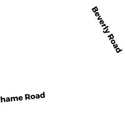
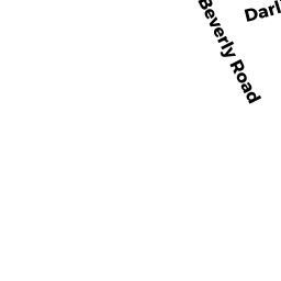
Single Family Residential owned by ZUSCHLAG,WITOLD + DENISE E - 189 BEVERLY RD
Single Family Residential owned by MURPHY,ANDREW J + JESSICA L - 191 BEVERLY RD
Single Family Residential owned by SIMONELLI,KATHLEEN A - 11 ELNORA DR
Single Family Residential owned by LUNDSTROM,JON C + KATHY A - 195 BEVERLY RD
Single Family Residential owned by FUSARO,MICHAEL R + MICHAEL M - 440 LINCOLN ST
General Office Buildings owned by 440 LINCOLN STREET HOLDING